File:DavisSatellite1.jpg: Difference between revisions
Jump to navigation
Jump to search
(Satellite Image of Fort Davis from Google Earth) |
(No difference)
|
Latest revision as of 17:02, 28 December 2007
Satellite Image of Fort Davis from Google Earth
File history
Click on a date/time to view the file as it appeared at that time.
| Date/Time | Thumbnail | Dimensions | User | Comment | |
|---|---|---|---|---|---|
| current | 17:02, 28 December 2007 | 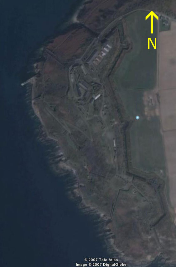 | 562 × 851 (43 KB) | Robert (talk | contribs) | Satellite Image of Fort Davis from Google Earth |
You cannot overwrite this file.
File usage
The following page uses this file: